
Hilo Previous Residents by Era
A backward search works best when the source matches the period. County GIS fixes the present parcel and TMK, the Tax Map Key used to identify Hawaiʻi land. The Bureau of Conveyances tracks recorded parties. EPIC dates recent permit work. Island directories, Sanborn maps, and archive files reach into earlier Hilo. None proves occupancy alone, so the final trail should state what each record actually shows.
| Source | Years It Covers | Where Held | What It Shows |
|---|---|---|---|
| County parcel geography | Metadata dated May 8, 2023 | County GIS and Planning | TMK, parcel shape, street label, planning context |
| Recorded instruments | Online 1976-present; older reference room | State Bureau of Conveyances | Parties, instrument, legal description, recording date |
| EPIC permits | System launched July 2021 | County Public Works | Project, address, permit type, status, and dates |
| Polk island directories | 1954-1987 | UH repositories and Digital Archives | Dated names, businesses, streets, and occupations |
| Hilo Sanborn maps | 1921-1957 | Library of Congress | Buildings, uses, streets, and block layout |
| Archive genealogy records | Vital indexes 1832-1910 and 1911-1929 | Hawaiʻi State Archives | Family, probate, census, and newspaper evidence |
Start with the newest reliable address, not a person's name. For a recent change, use GIS, RPT, deeds, and EPIC. For a mid-century household, add a dated island directory and Sanborn sheet. For an older family, ask the Archives about a specific index or court series. A claimed year outside a source's coverage is a prompt to change repositories, not stretch the record.
Fix the Hilo Resident Parcel
Normalize the address through the County Web Map before looking for previous residents. Search the address or TMK, select the autocomplete result, zoom in, and turn on Parcels. Preserve the returned street spelling and full TMK, including zeroes. An old street number, subdivision change, or mailing label can otherwise send the search into the wrong parcel.
The parcel service is a map source, not title proof. Its metadata says it has no ownership information and is only a guide to boundaries. Use RPT for an assessment record and the Bureau of Conveyances for title instruments. Planning answers address questions at 808-961-8167, and its Hilo counter provides an in-person route when the map does not resolve an older address.
Note: “Hilo” may describe a postal label, CDP, district, or planning area, so keep the source's geography with every result.
Hilo Previous Resident Deed Chain
Hawaiʻi uses one statewide Bureau of Conveyances, not a Hilo recorder. Its online system covers 1976 to the present. An account is required, search is free, and document images remain blurred or watermarked until purchase. Searches may use a grantor or grantee, document number, address, or TMK. Regular System and Land Court identifiers differ, so check both when the chain appears to stop.
- Copy the TMK and legal description from a current parcel or assessment source.
- Find a known instrument and record its number, date, parties, code, and referenced prior instrument.
- Follow the seller backward as a former grantee, checking name variants and both recording systems.
- Match each legal description to the same TMK, map, subdivision, or consolidation record.
- At the 1976 cutoff, use the BOC reference room or submit a detailed written request.
- Grantor / grantee
- The grantor transfers an interest; the grantee receives it. Read each role from the instrument.
- Chain of title
- The linked series of recorded transfers for the same property.
- Legal description
- The formal land description that can stay stable when a street label changes.
For pre-1976 material, the BOC public reference room is open weekdays from 8:15 a.m. to 3:30 p.m. A written request should name the parties, Book/Page or type, document date or number when known, certification choice, return address, and fee. That mail path matters for researchers who cannot reach Honolulu.
Hilo Past Resident Permit Timeline
The County EPIC permit search can place construction or alteration work on a timeline. Its public search includes Search All, Exact Phrase, Records Updated, Permit Number, Project, Address, Permit Type, Status, and State. The system launched in July 2021, so an empty result does not prove that no older work occurred.
A permit may show a project address, type, status, dates, inspections, conditions, plans, fees, or valuation, depending on access. It does not establish who lived there. If the portal fails, contact Hilo EPIC at 808-961-8321 or public_works@hawaiicounty.gov. A narrow UIPA request can seek an identifiable public permit file, subject to redaction.
Maps Check Hilo Past Residents
The Hilo Sanborn collection has 36 sheets published from 1921 through 1957. A sheet can show a street, building footprint, material, use, fire risk, and nearby block. That can resolve whether an old directory points to the same building or merely the same street string. It cannot name an occupant.
Mookini Library's guide adds Sanborn material from 1914-1957, DAGS registered maps, OHA Kipuka and Papakilo, and USGS resources. Historic photos may show a façade or sign. A c.1903 Shipman Street image documents Union Saloon and street context, but does not identify everyone pictured. Separate what an image shows from what another record says.
Connect Hilo Past Households
Owners are only one layer of previous-resident research. Polk island directories from 1954-1987 can supply dated names, businesses, occupations, and streets. The 1965 Digital Archives volume has 666 images. No verified Hilo criss-cross run was found, so do not promise an address-first index. The collections and their reading rules appear on the Hilo city directories page.
Pair a directory year with the nearest useful census or archive series. Surviving Hawaiʻi census material includes partial enumerations from 1866, 1878, 1890, and 1896. U.S. Census microfilm for 1900-1930 is available through the public library system. Then test the match with a newspaper notice, probate file, obituary index, or eligible vital record.
- Transcribe the directory name, street, year, page, and image number.
- Search the closest census or archive index with spelling variants.
- Compare age, family, trade, and place only where the source provides them.
- Add an obituary, probate, or vital index as a separate dated event.
A disappearance may mean a move, death, missed listing, or name change. The State Archives genealogy guide explains records that can test those options:
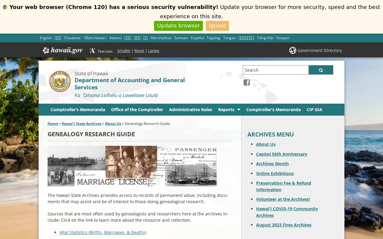
The archive series provides dated evidence, not a modern address lookup.
Lawful use. Research Hilo past residents for family, house, and local history. Never use a historical trail to track, expose, harass, or harm a living person.
Vital Records Have Hilo Limits
Hawaiʻi vital certificates are not open resident rolls. Current access follows Department of Health rules and HRS §338-14, including direct or tangible interest. Genealogy access generally applies to records more than 115 years old. The State Archives holds older indexes, but dates and arrangements vary. Use an index to locate a recorded event, then follow the keeper's rules for a copy.
The Department of Health genealogy page explains the older-record route:
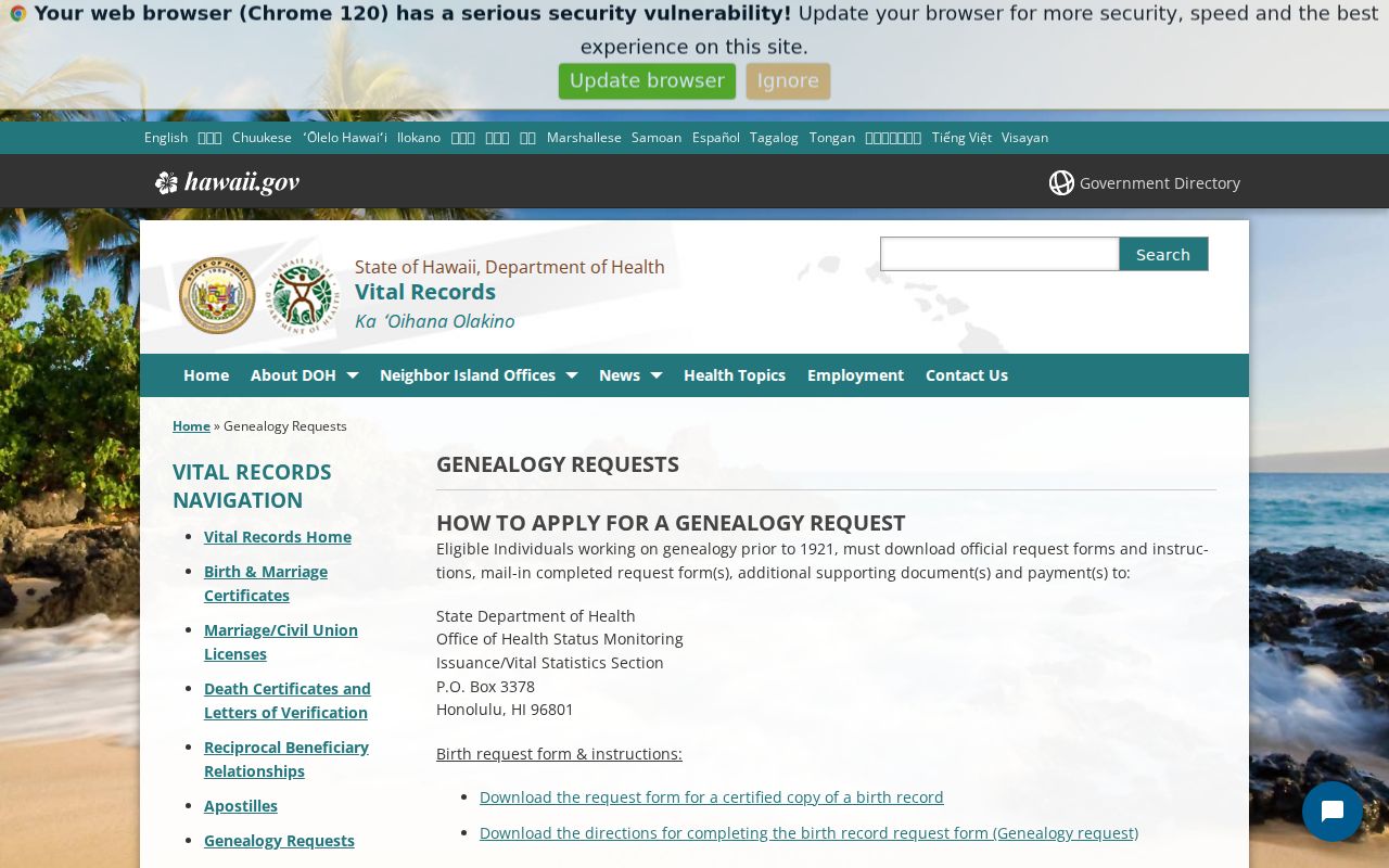
This route can confirm a historic event when eligibility and coverage fit, but it cannot fill an unsupported gap in a deed or directory chain.
Hilo Previous Resident Evidence Limits
A deed names parties to an instrument, not every person in a home. RPT describes a tax and assessment record, not occupancy. A permit dates a project. GIS shows parcel geography but expressly omits ownership. A directory places a printed name or business in one edition. Those distinctions protect the accuracy of a previous residents trail.
Use confidence labels in notes. “Confirmed record” means the source directly states the fact. “Possible match” means names or places align but an identifier is missing. “Research gap” means the needed year, image, or archive file was unavailable. The strongest Hilo house history joins at least two independent sources on the same TMK or block and date.
For missing government files, use the Uniform Information Practices Act request route for a known permit, map, assessment review, or archive record. An agency may segregate protected fields. The request process does not turn confidential material into a public record.
The fallback chain depends on the gap. County Planning and RPT counters in Hilo can help with current parcels and addresses. EPIC accepts phone and email questions about an identifiable permit. The Bureau of Conveyances handles modern account searches, pre-1976 reference-room work, and written copy requests. Mookini Library is the local route for historic maps, periodicals, microfilm, and bibliography leads. State Archives and the Hawaiian Historical Society can answer collection-specific questions by catalog, email, or an arranged visit.
Keep a compact research log for every step. Record the address exactly as returned, TMK, portal or repository, date checked, record year, image or instrument number, and what the source does not establish. If the deed names a trust or company, do not turn that entity into a household. If RPT shows a mailing address, do not publish it as an occupant's home. If two street forms differ, pause at Planning, USPS, a subdivision map, or a Sanborn sheet before continuing backward.
This discipline is especially important in Hilo because title recording is statewide while parcel, permit, and address work is county based. Historical names may then sit in island directories or state repositories. The record keepers describe different roles at different dates. A sound account of who lived here before preserves those seams instead of merging them into one profile.