
Hilo ZIP Directory Coverage
Two ZIPs are the main Hilo routing examples in the official material, while two nearby codes show why place names need care. The table does not draw postal polygons. It records what the inspected USPS sources can support and sends an individual address back to the Postal Service for a current answer.
| ZIP | Officially supported area | Postal point | Use and caution |
|---|---|---|---|
| 96720 | Common Hilo proper routing example | Hilo and Downtown Hilo offices | Verify the full address and current ZIP+4 |
| 96721 | Hilo-area routing reference | No current named area description found in inspected official sources | Do not invent a neighborhood boundary |
| 96781 | Papaikou example near Hilo | Papaikou routing | Do not label every address as Hilo |
| 96783 | Pepeʻekeo example near Hilo | Pepeʻekeo routing | Confirm the USPS city name |
The Hilo ZIP code directory is therefore an orientation tool. It does not assign every street to a current polygon because no definitive official street-by-street table for 96720 and 96721 was located. That gap is best handled with an address-level USPS check, not a guessed line on a map.
Hilo ZIP Code Postal Anchors
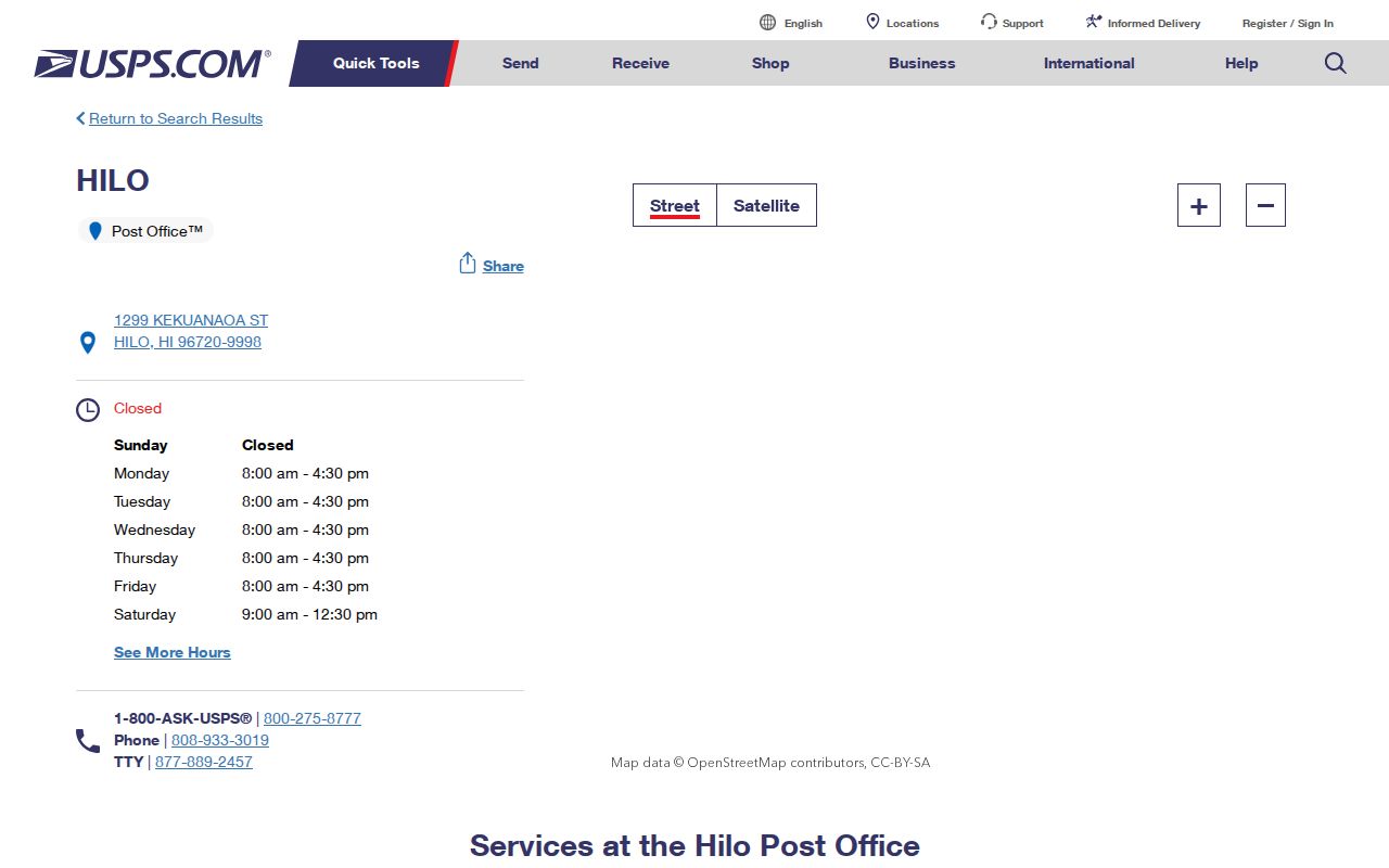
The USPS Hilo location record identifies the Hilo Post Office at 1299 Kekuanaoa Street as 96720-9998. It also lists Downtown Hilo at 154 Waianuenue Avenue, Suite 1, as 96720-2452. These are sound examples of official postal formatting. They do not mean that every nearby address shares either ZIP+4.
The captured location page below gives the Hilo ZIP code directory a real postal anchor rather than an unsourced neighborhood list.
ZIP+4 changes with a delivery segment. Enter the whole address when mail routing matters. A base ZIP alone is too broad to identify a block, parcel, or resident.
Search Hilo Records by ZIP
Local public systems are mostly address-first or parcel-first. They do not offer a reliable master list of residents filtered by ZIP. Start with USPS, then move only to the county tool that fits the next question.
- Enter the complete street, city, and state in the official USPS ZIP Lookup. Save the returned ZIP and ZIP+4 with the date checked.
- For land context, search the County GIS geocoder by address or TMK, then turn on the parcel or planning layer.
- For a tax parcel, use the Real Property Tax Location Address search. Treat the owner of record as an owner, not an occupant.
- For permits, use EPIC’s address filter and add project type, permit type, status, state, or dates if needed.
Once a ZIP has been narrowed to an actual street, the Hilo address directory explains the parcel and deed path. That work belongs at street level, where address spelling and the TMK can be checked.
Hilo ZIP Search Field Limits
Each official tool accepts a different key and returns a different geography. The lack of a ZIP-first box is meaningful. It prevents a postal code from being mistaken for a parcel or household identifier.
| Official tool | Accepted location fields | Meaning of the result |
|---|---|---|
| USPS ZIP Lookup | Street, city, state; or city and state | Current postal routing and ZIP+4 |
| County RPT/qPublic | Location Address, Parcel Number, Legal Information, Condo | Tax parcel and assessment record |
| County GIS/geocoder | Address or TMK autocomplete | Parcel and planning geography, not ownership |
| EPIC | Address plus project, permit, status, state, dates | Permit or project tied to an address |
| Bureau of Conveyances | Address/TMK described after login | Recorded instrument index |
Use the County Planning office for an address-assignment question, RPT for parcel association, and the State Bureau of Conveyances for a recorded instrument. A narrow UIPA request can seek an identifiable county address or map record, but it cannot turn postal routing into proof of residence.
Map Hilo ZCTAs, Not People
The Census Bureau creates ZIP Code Tabulation Areas, or ZCTAs, as generalized statistical polygons. They approximate postal patterns for tabulation. They are not exact USPS delivery boundaries and contain no person-address index. The Census TIGERweb ZCTA service is useful for map and population context, not mail delivery.
The service image below shows the kind of statistical layer used in a Hilo ZIP code directory.
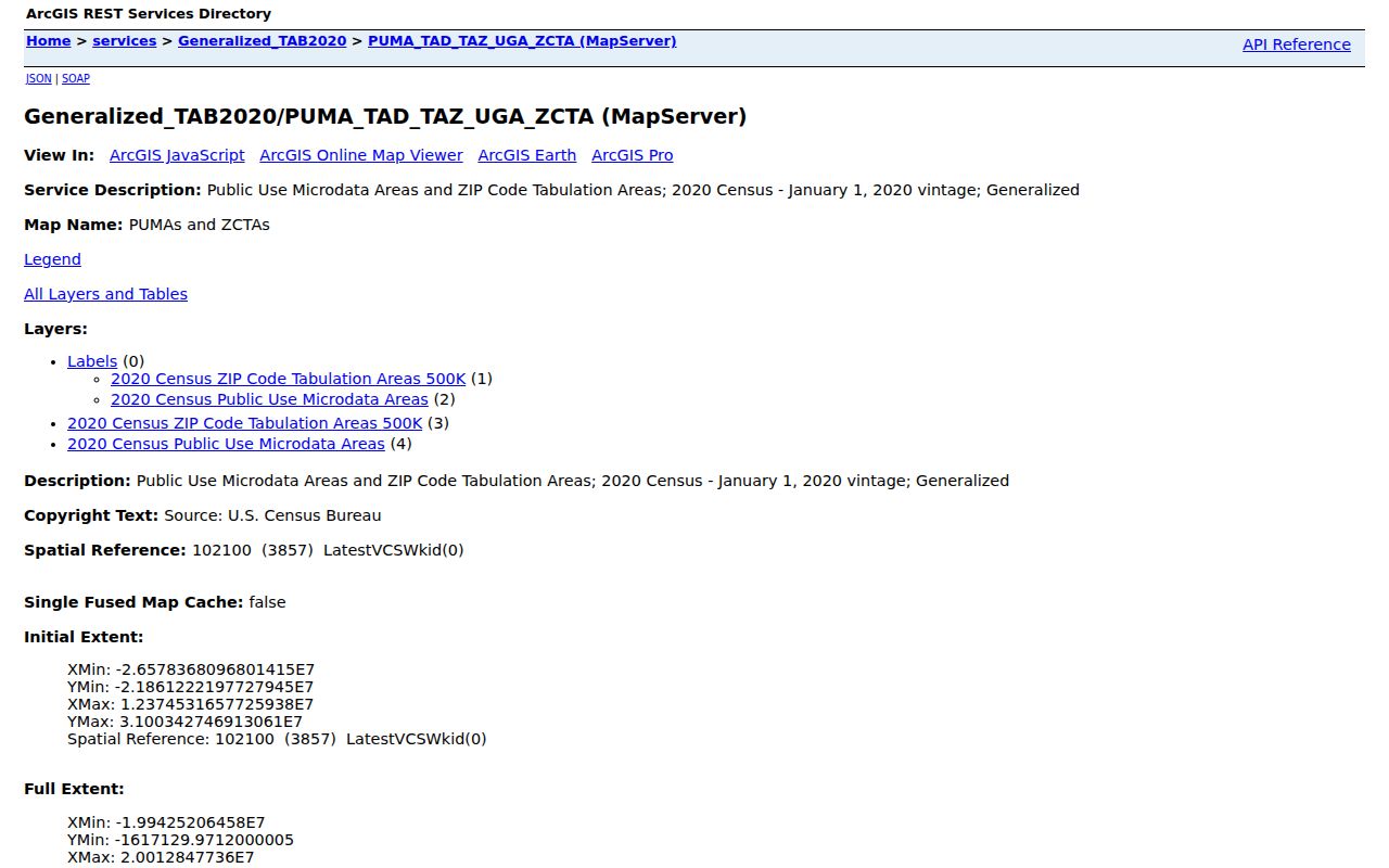
A map point near a ZCTA edge still needs USPS confirmation. For parcel or zoning questions, shift to County GIS because its boundaries answer a different question.
Hilo ZIP and Place Boundaries
Hilo is a Census-designated place and the County of Hawaiʻi seat. Hawaiʻi has no incorporated municipal government layer. South Hilo and North Hilo are county planning categories, while Hilo CDP is a Census boundary. A Hilo mailing city and ZIP can overlap those labels without matching them. This is why the Hilo ZIP code directory keeps postal, statistical, and county geography separate.
The Census Hawaii geography guidance documents the place framework used for Hilo.
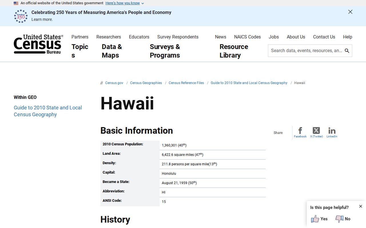
The screen supplies the government context that a commercial ZIP map often omits. It explains why there is no Hilo city-limit line to use as a postal test.
- ZIP and ZIP+4
- A ZIP routes mail broadly; ZIP+4 narrows it to a delivery segment.
- PO-box ZIP
- A postal code used for boxes rather than a mapped residential area.
- Unique ZIP
- A code assigned to one high-volume recipient, not a neighborhood.
- Carrier route
- The delivery sequence served by a postal carrier, which is not a civic boundary.
Hilo ZIP Routing Changed
USPS Postal Bulletin material records a 2010 routing change that deleted 96781 and 96783 from a Hilo routing list. Those codes appear in current research as Papaikou and Pepeʻekeo examples. The dated notice proves that postal schemes can change. It does not define every present boundary or convert an old Hilo label into a current one.
Historical records may preserve the mailing city and code in use when they were created. Cite that date. Then run the modern address through USPS if the goal is current delivery. This is especially useful when a directory, deed, obituary, or family paper uses an older place name.
Note: A historic postal label describes past routing and should never be silently updated into evidence about a present resident.
Use Hilo ZIP Results Safely
A ZIP is sorting data, not identity evidence. It cannot show that a named person occupies a parcel, that a mailing address lies in Hilo CDP, or that a property belongs to the person receiving mail there. County GIS adds parcel and planning context, but its parcel metadata expressly says it contains no ownership information. RPT can show an owner of record, yet ownership still does not prove occupancy.
Keep the claim narrow. Record the full address, official source, date checked, returned ZIP or ZIP+4, and any mismatch without naming private occupants.
If a portal is down, use USPS service channels for delivery questions, County Planning for assigned addresses, or RPT for parcel links. Ask the Bureau of Conveyances or State Surveyor only when the issue is a deed or legal map. Never bypass a login or access control, and never fill an official-data gap with a guessed neighborhood label.
Keep old and new results separate. A family paper may carry a valid postal label for its own date while today’s USPS result uses another route. Record both without treating either one as a person match. That simple date check preserves useful Hilo history and avoids turning postal metadata into a claim the source cannot support.