
Walk a Hilo Street Record
A street directory search works best as a chain. First fix the address, then preserve the tax map key, or TMK. That stable parcel key carries the search past spelling changes and similar street names. Keep the date and source beside each fact. An owner on a tax roll is not automatically an occupant, and a person named in a deed may have transferred an interest years ago.
- Enter the address or TMK in the County Web Map. Choose the autocomplete result, zoom in, and turn on the Parcels layer.
- Open the County Real Property Tax search. Use Location Address, Parcel Number, Legal Information, or Condo.
- Check nearby parcel shape and planning layers, then use the tax record for owner data. GIS itself does not prove ownership.
- Search EPIC by address for dated permits, projects, status, and inspection context.
- Carry the address or TMK to the Bureau of Conveyances. Record the instrument number, parties, system, and date.
Current voter information is far narrower. Hawaiʻi law makes a voter’s name, district, precinct, and status public, but not the complete affidavit. Historical directories and maps can add an older, dated household or business clue. They should not be used as proof of current residence.
Hilo Streets Begin With TMK
The County GIS Web Map accepts a street address or TMK in one search line. Pick the suggested match, let the map zoom to the place, and enable parcels. Planning identifies nine island zones. Hilo searches often fall in South Hilo or North Hilo, yet those planning labels are not the Hilo census place or a postal ZIP.
Copy the TMK exactly, including zeroes and hyphens, before leaving the map. County Planning says its address rules apply to all buildings under Ordinance 04-082, effective August 4, 2004. A failed match can reflect an old number, rural route, subdivision change, spelling form, nearby community, or lot without a usual street number.
- TMK
- The tax map key used to identify a parcel in Hawaiʻi.
- Parcel
- A mapped unit of land, not a list of people at the site.
- Situs address
- The physical property address, which may differ from an owner’s mailing address.
- Plat
- A recorded map showing lots or a subdivision.
- Criss-cross directory
- A historical directory arranged by address or street instead of surname.
Note: County GIS geometry is a guide; a deed, survey, or filed map controls when a boundary conflicts.
Search Hilo Parcels by Address
The County’s documented controls distinguish map geography from the assessment record. The live qPublic card was blocked during research, so its current field order and changed export controls are not claimed. Use the verified inputs below, then label what each output proves.
| Tool or field | Input | What it establishes | Limit |
|---|---|---|---|
| GIS single-line search | Address or TMK | Map match and parcel location | No owner data |
| RPT Location Address | Street location | Assessment parcel route | Owner is not occupant |
| RPT Parcel Number | TMK | Direct parcel lookup | Live card needs checking |
| RPT Legal Information | Legal terms | Alternate property search | Not a resident search |
| RPT Condo | Condo terms | Unit-linked property route | Occupancy is not shown |
The public parcel FeatureServer is queryable and has a 1,000-record maximum. Its metadata was dated May 8, 2023 and says the polygons contain no ownership information. That is a useful Hilo quirk: a sharp, searchable map may look exact while its own custodian warns against treating it as title evidence.
The County parcel address geocoder provides another official route. Save the standardized return and date checked.
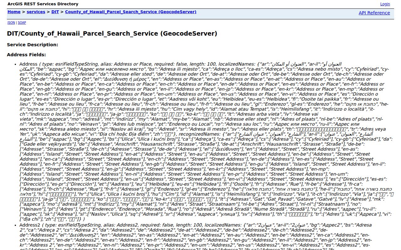
Carry that standardized address or returned TMK into RPT and BOC, preserving the checked date so later changes remain visible.
Hilo Records Indexed by Street
No single Hilo street directory holds every household. These address-keyed sources cover land, buildings, postal routing, public election fields, and older place evidence. Their overlap can confirm that sources refer to one parcel without turning any source into a current occupant list.
| Street source | Custodian | Useful result | Access route |
|---|---|---|---|
| Parcel and planning map | County GIS and Planning | TMK, shape, zoning, layers | Web Map, geocoder, counter |
| Property assessment | Real Property Tax Office | Owner and property address | qPublic or Hilo office |
| Permits | Public Works | Project, permit, date, status | EPIC, phone, email, counter |
| Recorded instruments | State Bureau of Conveyances | Parties, legal description, date | Online from 1976; older room |
| Election record | State and County Elections | Name, district, precinct, status | Official lookup or lawful request |
| Historic maps and directories | Libraries and archives | Dated address, business, footprint | Digital images or reading room |
Use each source date as a control. A permit record describes a project, not a household. A postal result confirms delivery form, not identity. For a whole modern road, repeat the parcel-led steps instead of guessing by personal name.
EPIC Dates Hilo Street Work
The EPIC public information search adds time and building context. Its documented fields include Search All, Exact Phrase, Records Updated, Last 1 Year, Permit Number, Project, Address, Permit Type, Status, and State. The sample format is PW.B 2024-000001. EPIC launched in July 2021, so earlier work may need help from Public Works.
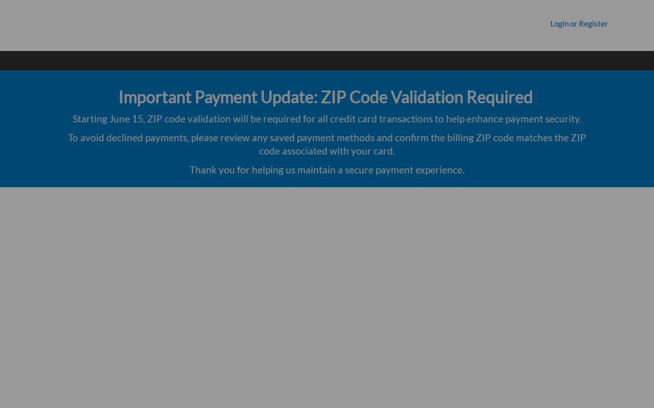
The portal can show a project address, number, type, status, dates, inspections, conditions, plans, or payments where public. Some contact data and files may be withheld. The assigned EPIC capture shows the public search surface used for Hilo address-led permit work.
For help, the Hilo office is in Aupuni Center, Suite 7. Call 808-961-8321, fax 808-961-8630, or email public_works@hawaiicounty.gov. Its assistance page targets two business days and notes some replies can take five.
Hilo Street Deeds Go Statewide
Hilo has no municipal recorder. The Hawaiʻi State Bureau of Conveyances is the statewide keeper for deeds and recorded instruments. The Regular System and Land Court use different identifiers, and formats shift by era. An address or TMK can start a modern search, but the instrument number, date, grantor, grantee, and legal description should carry the result.
The BOC online service requires an account. Search is free, while images remain blurred or watermarked until purchase. Official help supports grantor/grantee, document number, address, and TMK routes. The assigned capture shows the public entry point.
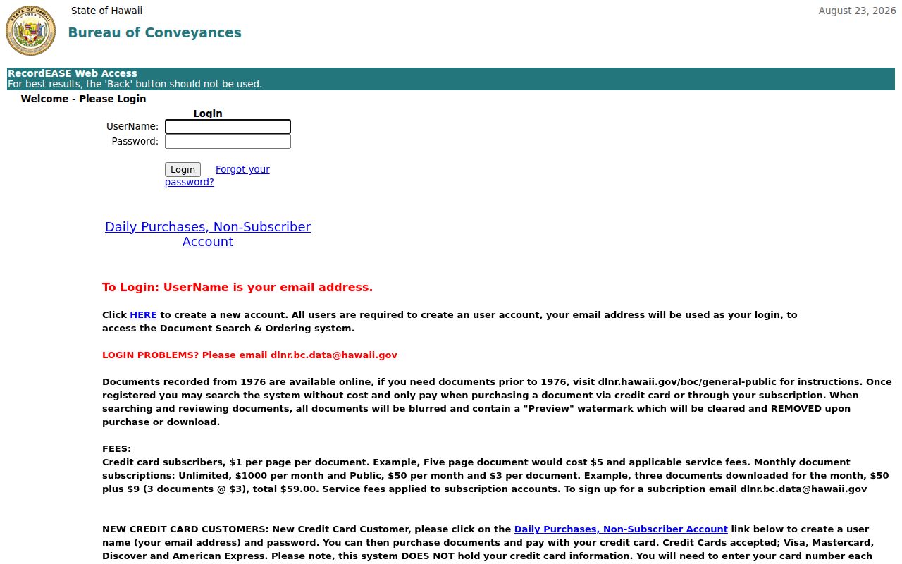
Records from 1976 route online. For older material, use the weekday BOC reference room or a written request naming the book and page, parties or type, certification choice, and return address. Call 808-587-0147 before relying on fee or visit details.
Historic Hilo Streets Need Maps
Old numbers and changing uses can break a direct address search. Hilo’s Library of Congress Sanborn set contains 36 fire-insurance map sheets from 1921 through 1957. A sheet can match a block, footprint, alley, or business use to a dated directory entry. That helps when a modern parcel spans a site that once held several structures.
Use the Hilo Sanborn viewer with directories, newspapers, and photos. Record the sheet and date. The collections themselves belong on the Hilo city directories page; here they serve only as dated street clues.
Planning also separates TMK maps from subdivision or consolidation maps, while State Surveyor and DAGS cover Land Court and file-plan maps. Match the map type to the question. A modern screenshot cannot settle an old legal description.
Hilo Street Labels Can Mislead
A Hilo mailing city, Hilo census place, South Hilo, North Hilo, and a ZIP area are different geographies. USPS routing can put nearby communities under their own postal names, and a road can cross planning areas. Use the USPS ZIP Lookup for current delivery form, not as proof that a person resides inside the Census boundary.
Write down the exact address returned, ZIP+4 when useful, TMK, planning label, and date. Do not replace one boundary with another. This keeps a by-street search tied to a real parcel while leaving identity claims to records that support them.
What is proved? A result may confirm a delivery address, parcel, permit site, tax mailing address, or legal-description address. Label which one.
Offline Help for Hilo Addresses
Portals are not the only route. County Planning is the address authority and takes questions with a TMK at 808-961-8167 or planning@hawaiicounty.gov. Its Hilo office is at Aupuni Center, 101 Pauahi Street, Suite 3, with weekday hours from 7:45 a.m. to 4:30 p.m. The general line is 808-961-8288.
County Planning
Address assignments, maps, subdivisions, and failed autocomplete.
Real Property Tax
Assessment and owner-of-record questions when qPublic fails.
Bureau of Conveyances
Recorded title and copies, online or through the older-record route.
A narrow request under the Uniform Information Practices Act can seek an identifiable permit, assessment review, map, or agency record. Give a TMK, address, type, and date span. Protected fields may be redacted.
Limits of Hilo Street Directories
A street directory cannot reliably name renters, children, guests, or each household member. GIS shows geography. RPT identifies an owner and mailing address. A BOC instrument shows parties in a dated act. EPIC tracks work. Election access is limited to the public slice allowed by Hawaiʻi law, and confidentiality can shield an address.
Utility customer records, driver data, full voter affidavits, protected vital data, and Address Confidentiality Program information are not public street rolls. An empty result may reflect protection, an older file, a changed address, or wrong custodian. It does not prove a person never lived there.
Lawful use. Use Hilo address records for personal research, family history, property questions, and civic review. Never stalk, harass, threaten, impersonate, or dox a person.
Keep the work at parcel level and disclose only facts needed to answer the question. The best final note states what an official source showed on a date, then what it did not establish.